The customer chose to protect their confidential information
A Navigation Solution for Flexible Urban Routes

About the client
In this case, our customer is based in the UAE, and their interests include modern urban logistics solutions.
![[object Object] on the map](https://static.andersenlab.com/andersenlab/new-andersensite/bg-for-blocks/about-the-client/uae-desktop-2x.png)
Project overview
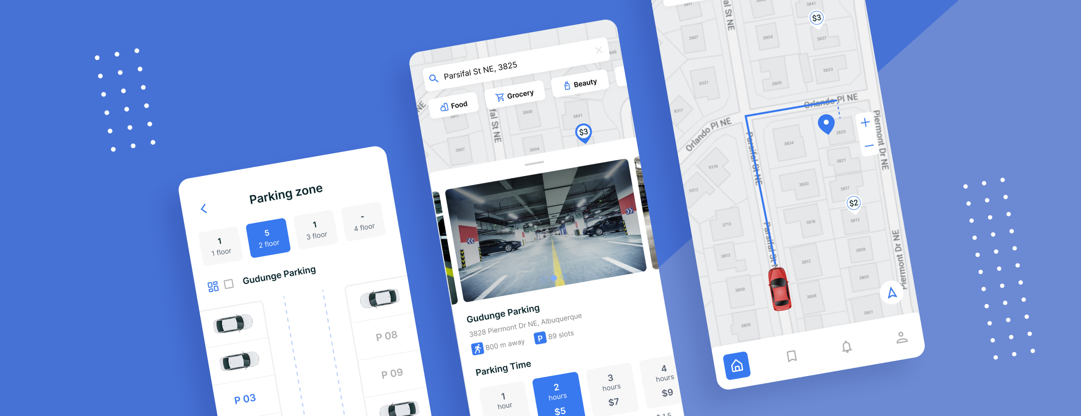
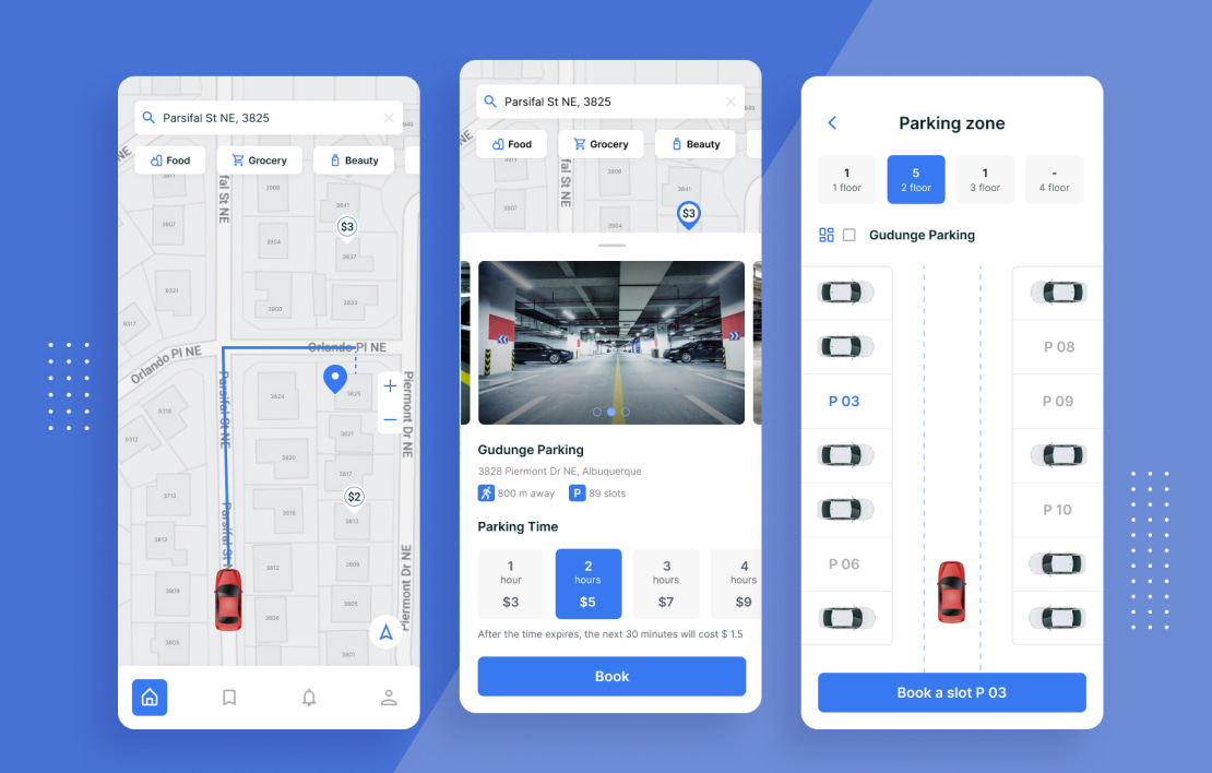
Andersen's team has developed a smart parking system for urban areas. With this system, users can easily find free parking slots to park their vehicles and then walk to POIs (points of interests).

The customer company experienced a range of difficulties with its previous location tool as it didn't feature maps that would be adaptable enough to mobile devices. Moreover, that platform didn't function properly with a spotty Internet connection and couldn't seamlessly switch between online and offline modes. The above features were crucial for the customer. Therefore, the business needed a smart parking system together with an advanced mobile-friendly map format.
Solution
First of all, Andersen assessed the pros and cons of the customer's map formats to figure out the right format capable of serving as the basis for the new mobile navigation concept.
Having chosen a proper format, Andersen started to work on formal specifications. Thus, our software engineers formalized the data sets and the layers. Such adjustments allowed us to develop a custom mobile route solution matching specific data layers with the base-map layer.
Having resolved the challenge of a mobile-friendly format, we developed a proof-of-concept smart car parking system. Among other things, Andersen's IT experts added the capability of precise routing to the POI, including navigation for pedestrian routes from the parking slot. The route can be dynamically modified, based on parking availability - such information is provided by the platform’s volatile layer. This volatile layer obtains data from vehicles with onboard sensors (e.g. cameras) that detect free parking slots while maneuvering.
The next task was to migrate the compilation of the source map format to the new platform’s compilation framework. Finally, we added support capabilities for incremental map updates.
App functionality
- Users can enter their POIs and set free parking slot options based on preferable distance and estimated time of arrival
- The app then builds the best possible route according to such predefined preferences as time, distance, and parking cost
- Once the end-user arrives, the system builds the walking route from the parking slot to the POI
- The system alerts a driver if the parking slot is occupied before they have arrived
- If needed, the system automatically proposes another route
- Finally, the system notifies the driver if a better parking slot becomes available and proposes a route to it
Project results
The customer's management liked both the mobile app and the new source map format. The delivered solution is fully capable of navigating end-users, helping them with parking slots, and adapting to the constantly changing urban traffic situations. Thus, the customer obtained a truly advanced solution.
- The new navigation solution has achieved a 94% end-user satisfaction rate;
- The solution has made it possible to reduce the time spent on reaching POIs by 33%;
- The overall user experience has been improved thanks to dynamic routing based on real-time parking availability.
Let's talk about your IT needs
What happens next?
An expert contacts you after having analyzed your requirements;
If needed, we sign an NDA to ensure the highest privacy level;
We submit a comprehensive project proposal with estimates, timelines, CVs, etc.
Customers who trust us
